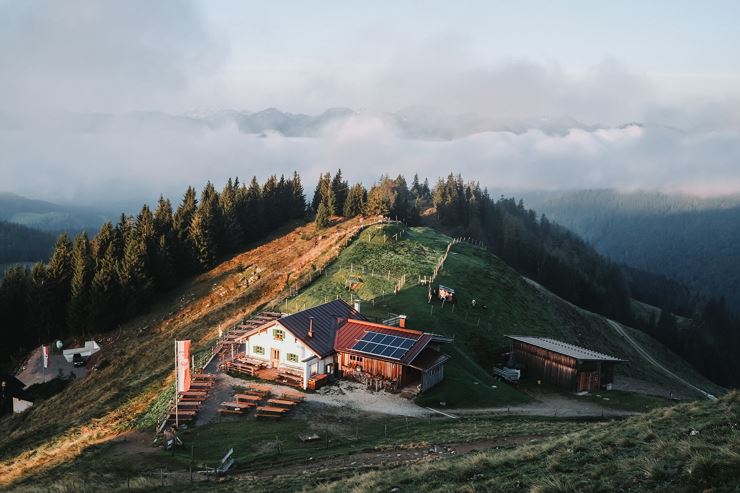
Foresights into the Inn Valley and dreamlike views are awaiting you on this average mountain hiking tour.
Starting from the Erlerberg parking lot, this tour offers stunning views of the Bavarian Alpine foothills and impressive vistas of the Inn Valley. The route first skirts the summit to the west before ascending the Spitzstein via the North Face Path. The North Face Path is not a classic via ferrata; it is partially secured with ropes and classified as a black (difficult) mountain trail. It is recommended only for experienced and sure-footed mountain hikers. Since it is predominantly on the north side and runs through a gully, extra caution is advised in wet conditions or when residual snow is present. For this reason, it is best to attempt this route in late spring or later.
Descending from the summit, the trail follows a moderate grassy slope. The Altkaser Alm and Spitzsteinhaus offer rest stops along the way. The descent continues across alpine meadows, providing almost continuous views of the Kaiser Mountains, and returns to the parking lot.


